
Weather
Tis the season
So, you have finally made the decision to take the epic, road trip of a lifetime and journey down Route 66. Now for the important question. What time of year is the best to make the trek down America’s main street? Many travelers, especially those with children, find it easier to make the two to four week voyage during a school holiday – either summer vacation or winter break. While that might be easier on your schedule, there are some things to be considered, which at the very least will determine what clothes you pack for the journey.
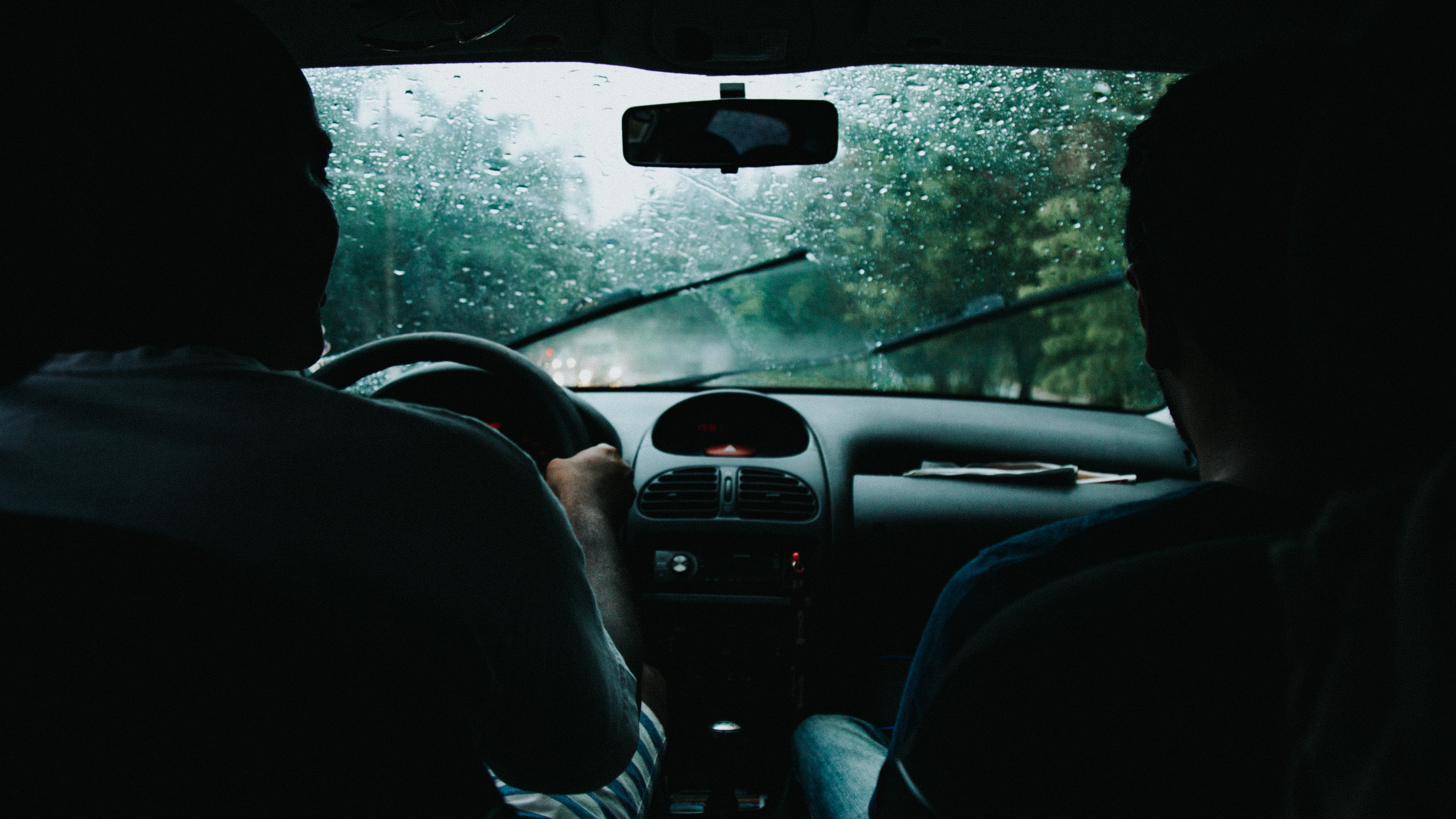
Driving through California and Arizona in the summer months would take a brave effort. Temperatures in the Mojave Desert average 96 degrees in July and August.
On the other end of the spectrum, driving through Illinois during the winter can be a dark, dreary adventure. The average low temperature in Chicago is 18 degrees in January and 21 degrees in February. Moreover, when you see the sun setting at 4:30 p.m., you might start wishing for those long summer days with plenty of daylight to travel by.
Spring can be an iffy time to venture through the Great Plains. Tornado alley, covering the Texan panhandle and most of Oklahoma, is most active during April, May, and June.
Considering the weather, autumn might be the best season to cross the country, Route 66 style.
Rural Areas
It’s not all cities and fast food

Before embarking on your journey down Route 66, you can and should book your lodgings for the trip, planning where you will stop each night before the trip even begins. It seems a romantic notion to just put the car in drive and pull into a motel/hotel when you are too exhausted to drive another mile. However, Route 66 is not all populous cities with a hotel chain on every corner. Without hotel, motel, or bed and breakfast reservations, you might find yourself sleeping in the backseat of your car, with no boarding (or fast food) options in sight.
Be wary of where you plan to stop on Sundays during your road trip. Although cities are on a 24/7 life cycle, many small towns close up shop for a day of rest, and you could find yourself without a place to eat. Also, don’t forget the sage advice from grandpas everywhere – carry cash for emergencies (you never know which charming small town diner will only accept cash).
Gas Stations
They never go out of style
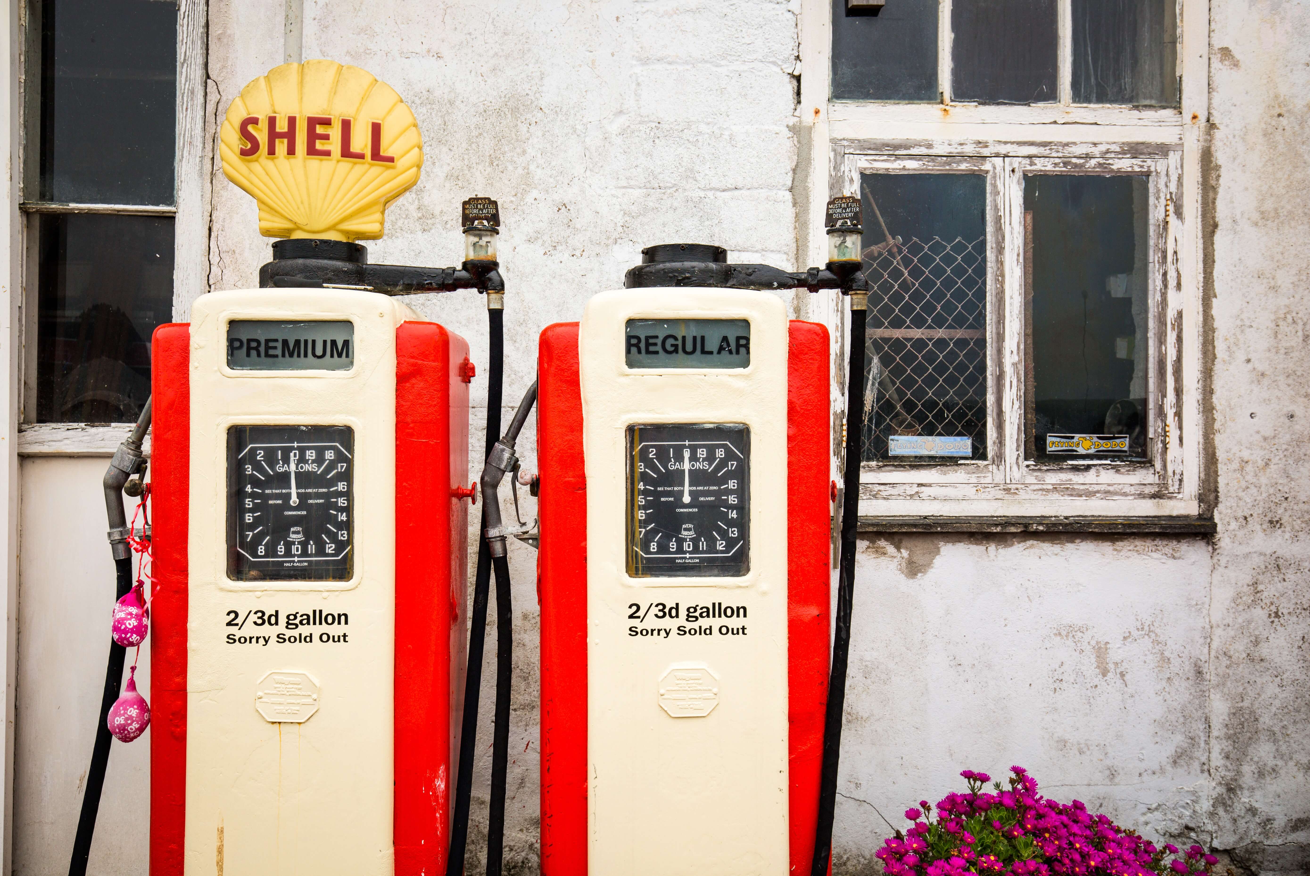
Budgeting for gas along Route 66 can quickly turn into a tedious task. Gas prices can change on a daily basis, fluctuate up or down every five miles, and spike at the next state line. Here are a few things to remember:
- When crossing from Illinois into Missouri, gas prices usually drop on average 25 cents
- The lowest gas prices along Route 66 can typically be found in Oklahoma
- Prices will jump 20 cents when entering New Mexico from Texas
- California boasts the highest average gas prices, usually over $3.00 per gallon (gas prices in neighboring state Arizona are a meager $2.37 on average)
Don’t forget to stop in Hydro, Oklahoma, population 961, to snap a photo of the historic Lucille’s Famous Rt. 66 Gas Station. This two-story relic was built in 1929 and is listed on the National Register of Historic Places.
Your Mileage May Vary
Terrain changes and confusing paths along Route 66 can both benefit and impede your plans, depending on if you are a glass half full or glass half empty kind of traveler.
Driving through the curvy roads of Arizona’s mountains and plateaus between Flagstaff and Kingman will cut your gas mileage and slow your travel time – but the scenic pictures you will take might make it worthwhile. Once past the picturesque mountains, you’ll find yourself driving long stretches of road in Arizona, crossing remote and undeveloped land far from busier highways.
Kansas and Texas are by far the easiest to navigate. Route 66 carves out a small corner of Kansas, stretching roughly 13 miles before entering Missouri to the east or Oklahoma to the south. Once you arrive at the Lone Star State, you need only drive 179 straight across the Texas Panhandle before crossing another state line.
Be aware of your route when driving through New Mexico. The original Route 66 passed through Santa Fe and the northern mountains until 1937 when a more direct route was built to connect Albuquerque and Santa Rosa. If you wish to see the abandoned path through Santa Fe, be prepared to circle around the middle of New Mexico.
To Do or Not to Do
Before you hit the road, we’ll leave you with just two quick tips:
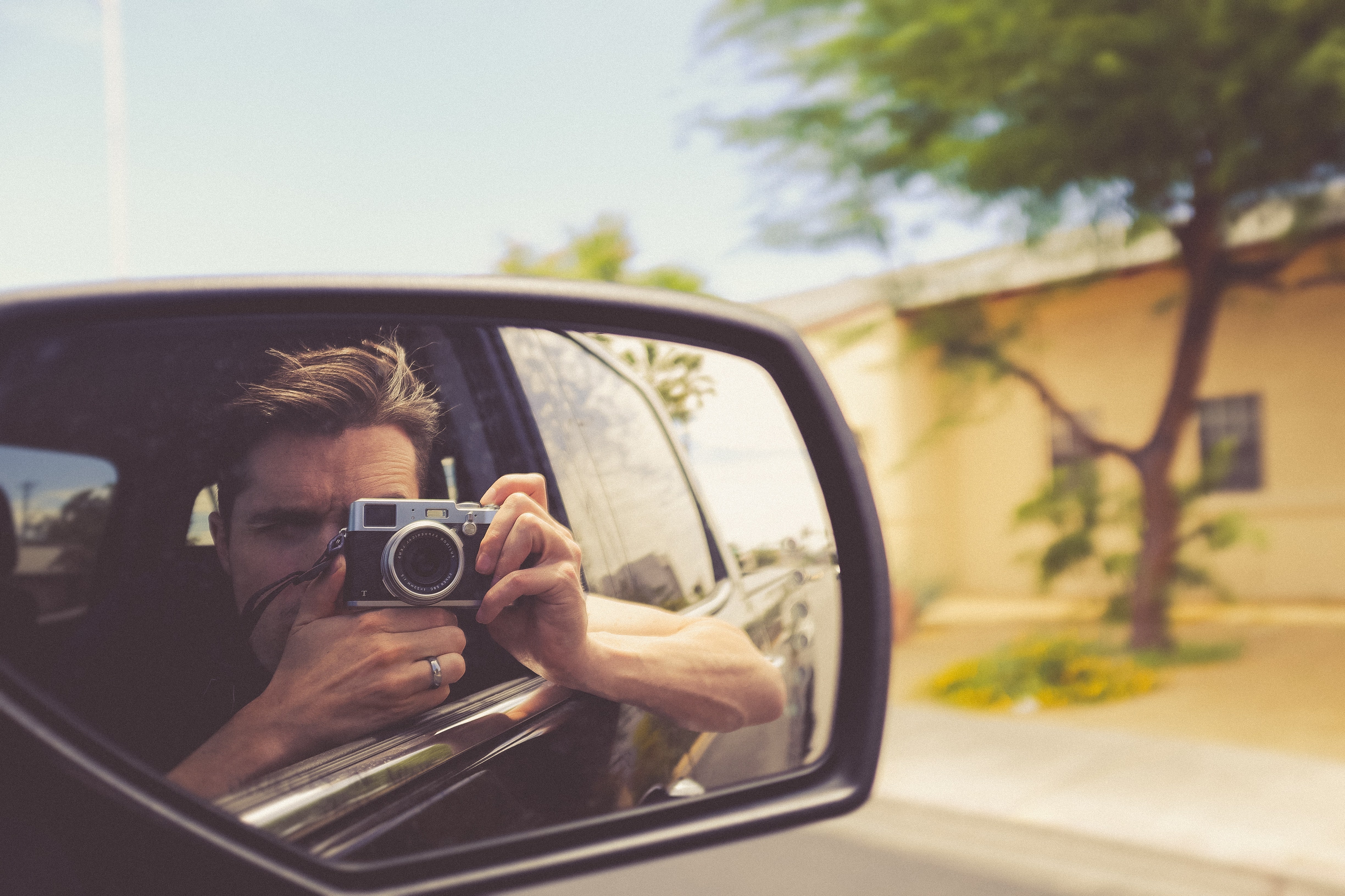
- DON’T take photos of private property or otherwise marked private lands. For example, the Laguna Pueblo in New Mexico is home to the federally recognized Native American tribe of the Pueblo people. Located about 45 miles west of Albuquerque, Laguna Pueblo is listed in the National Register of Historic Places and generally does not allow photography or videography. You can request permission from the locals to snap a few photos of the famous whitewashed St. Joseph church, but, like other small towns along Route 66, be sensitive to the culture and privacy of local residents.
- DO watch out for your safety. As with any big city, there are areas that you should avoid if you aren’t familiar with your surroundings. Research ahead of time on the best places to stop and stretch your legs in major cities such as Chicago, St. Louis and Oklahoma City.